These maps are from the USGS.
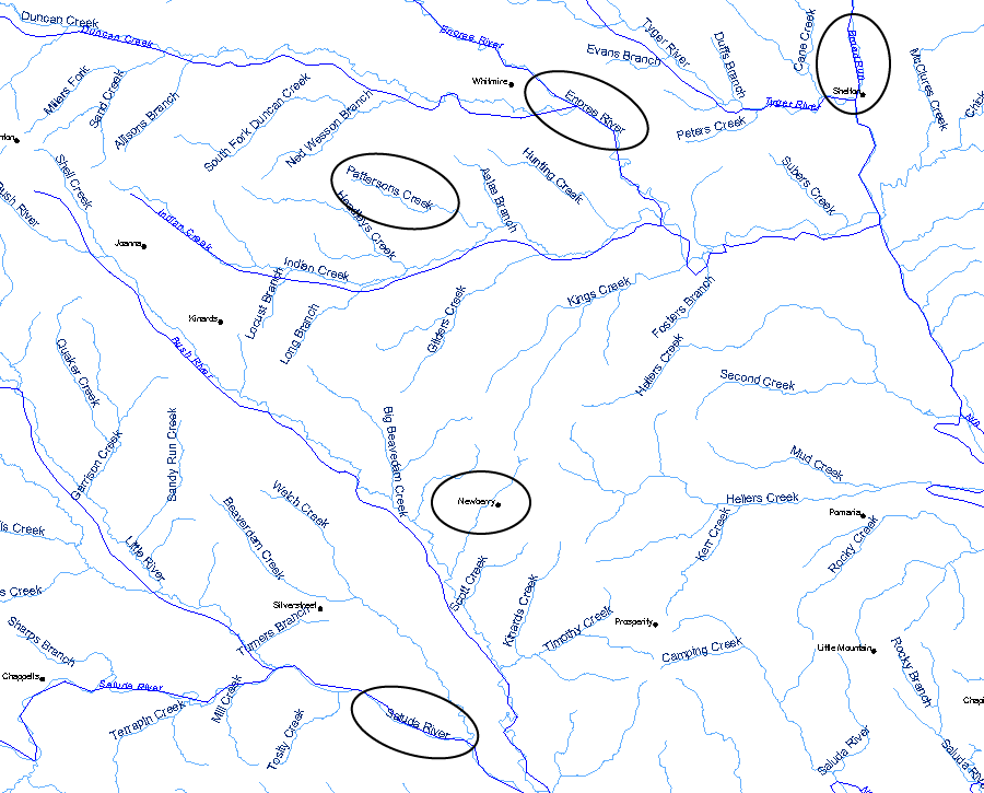
The survey located William Boyd's 250 acre plot as: "in Berkely Co., in fork between Broad and Saluda, on branch of Patterson Creek called Scott Branch; waters of Enoree River; bd'd William Proctor, John Kennedy, vacant lands, Mr. Robert McClento, James Proctor, Alexander Turner, John Armstrong, William Scott." In the map below, the key features are indicated, except that I have not been able to identify Scott Branch. Also indicated for reference is the town of Newberry, SC. The intersection of the Salud and Broad Rivers is off the map to the lower right corner.
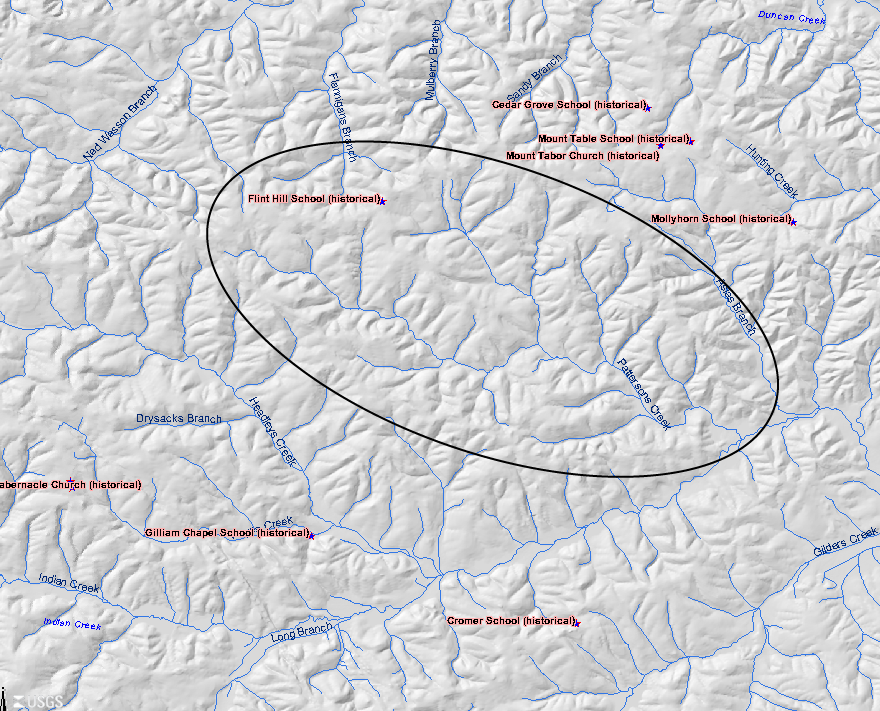
This is a more detailed map showing the entire extent of Patterson Creek. William Boyd's farm would have been somewhere inside the oval.